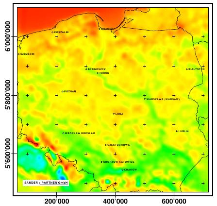
Wind Atlas Poland: Technical Details
The Wind Atlas Poland provides wind data at more than 15'000 locations all over the country. The distance between the locations is 5 km.
The raw wind data include wind speed and wind direction every 10 minutes. They are available at 60m and 120m above ground level.
The Wind Atlas Poland is based on a regional re-analysis. This means, the data are output of a weather model. The weather model make use of different sources of data: meteorological data like surface or balloon measurements and many other observations. The weather model makes also use of satelite observations or meteorological data derived from global weather models.

